


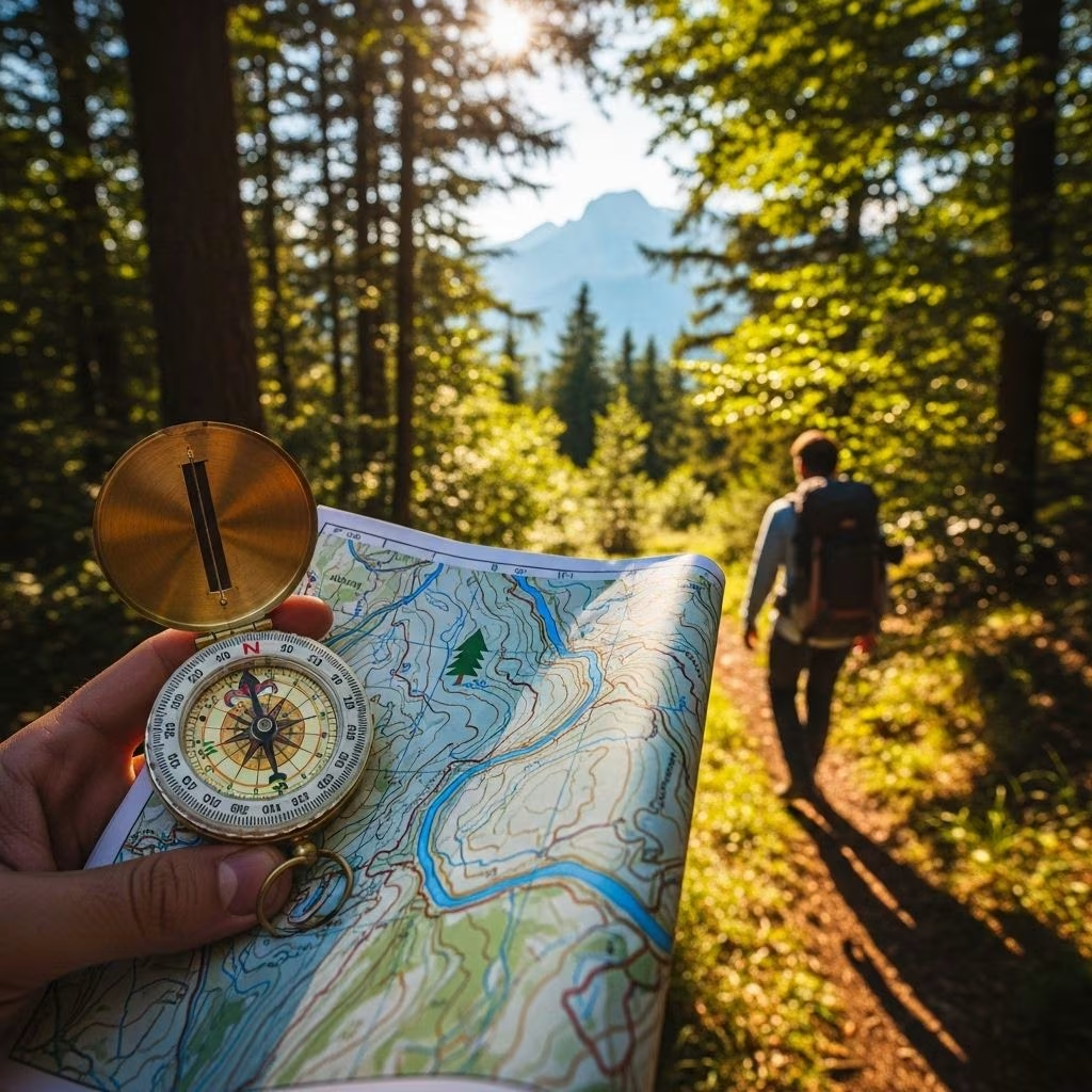
In an era dominated by digital maps and instant location tracking, it is easy to forget the value of fundamental navigation skills. For outdoor adventurers and survivalists, the ability to orient oneself without GPS is not just a nostalgic craft—it’s a crucial safety skill. This comprehensive guide delves into the time-tested techniques and essential knowledge that empower you to traverse and enjoy wild spaces confidently, even when technology fails.
Why Learn Navigation Without GPS?
While GPS devices and smartphones have made outdoor navigation accessible, their reliability depends on batteries, electronic components, and network availability. These can fail in remote environments, during bad weather, or in emergencies. Mastering non-GPS navigation techniques offers several benefits:
- Independence and resilience when technology fails.
- Deeper connection with natural surroundings.
- Confidence and safety on any adventure, from hiking to wilderness survival.
- Environmental awareness and respect, essential for all outdoor enthusiasts.
Preparation: Essentials for Non-GPS Navigation
Preparation is the cornerstone of effective navigation. Before venturing out, gather the following:
- Topographic map of your region: Detailed and up-to-date for the specific area.
- Compass: A reliable baseplate or prismatic compass is vital. Military-style compasses offer added durability and features.
- Waterproof map case: Protects your map from rain and wear.
- Notepad and pencil: For noting landmarks, bearings, and observations.
- Pace counter or ranger beads: Helpful for distance estimation.
- Emergency supplies: Food, water, first aid, and signaling devices.
- Basic understanding of the area’s geography and weather.
Understanding Cardinal Directions Without Tools
Knowing your basic directions—North, South, East, and West—is fundamental. Here’s how to estimate them without a compass or technology:
- Sunrise and Sunset: The sun rises in the east and sets in the west. At noon, the sun is due south in the Northern Hemisphere and due north in the Southern Hemisphere.
- Analog Watch Trick (Northern Hemisphere): Point the hour hand at the sun; halfway between the hour hand and 12 o’clock on your watch points south.
- Observing Trees: Many trees grow thicker, more robust branches, or bark features on their southern side for more sun exposure (true in temperate Northern Hemisphere areas).
- Moss and Lichens: Moss often prefers the cooler, damper north side of trees and rocks, while lichens may favor southern surfaces basked in sunlight.
- Anthills and Tree Markings: In some regions, anthills are constructed more on the south side of trees or stumps, and white birch bark extends lower on the south side.
While these natural signs are not infallible alone, combining several increases reliability when no other tools are available.
Mastering the Map and Compass
The combination of a compass and a topographic map remains the gold standard for serious backcountry navigation. These tools enable you to:
- Plan and visualize routes.
- Track progress and confirm position using landscape features.
- Plot a bearing and follow a straight line to a target.
- Avoid hazardous terrain by reading contour lines and elevation changes.
How to Use Map and Compass Together
- Align Your Map: Use your compass to rotate the map so that north on the map matches true north in the field.
- Identify Your Location: Compare visible terrain (mountains, rivers, valleys) to features on your map.
- Take and Follow Bearings: Select a destination point on the map, measure the angle with your compass, and follow this direction on the ground. Pause at intervals to confirm terrain features match your plan.
- Back Bearings: Take periodic sightings back toward your starting point to prevent drift over time.
Pro Tip: Practice using your map and compass on short, familiar hikes to build skill and confidence for off-trail navigation.
Terrain Association and Natural Landmarks
Even with precise tools, understanding and interpreting the environment is a vital skill known as terrain association. This involves reading and connecting natural features—such as ridges, valleys, watercourses, and forests—to the information on your map:
- Stop frequently and compare your surroundings with the map.
- Learn to read contour lines on maps to predict uphill, downhill, and flat terrain.
- Use unique landmarks (lakes, distinct hills, rock outcrops) both for orientation and as handrails (linear features you can follow).
- “Funneling”: Use terrain to funnel yourself toward major features—like valleys or rivers—so that even if you wander, you will intercept the main landmark eventually.
- Understand all features have a “map signature” that can help triangulate your position as you move.
Pacing and Distance Estimation
Knowing how far you’ve traveled is as important as knowing your direction. Distance estimation helps when you need to reach a checkpoint, or if visibility is poor:
- Pace Count: Learn how many steps you take per 100 meters on different terrain. Do a practice walk on known distances to calibrate this count for yourself.
- Ranger Beads or Paracord Knots: Simple counting tools help track each 100-meter increment, reducing mistakes over long distances.
- Natural Measurement: In the absence of tools, time traveled at your average walking speed (roughly 3-5 km/h on level ground) gives rough estimates for distance.
Natural Navigation Techniques
Several methods allow navigation using evidence from the environment, especially when lost or when tools fail:
- Sun Tracking: Short sticks cast shadows; by marking the shadow tip every 15-20 minutes, you can draw an east-west line (shadow moves west to east).
- Water Flow: Streams and rivers flow downhill and often toward larger bodies of water—useful for both direction and potentially finding civilization.
- Wind and Weather Patterns: In some regions, prevailing winds blow consistently from one direction, and can give a clue for orientation.
- Vegetation Clues: Certain plants, moss, or lichens may grow preferentially on one side of rocks or trees. Anthills and tree bark patterns can also be helpful.
- Sound and Smell: In dense forest or fog, listen for traffic, human activity, large rivers, or ocean surf, and note characteristic smells—helpful for orienting toward or away from civilization.
Use these clues in combination for best reliability, as any single clue may be misleading due to local exceptions.
Night Navigation Using the Stars
When daylight fades, the night sky becomes an invaluable map. Here’s how to find cardinal directions by starlight:
- Northern Hemisphere: Find the Big Dipper constellation. Drawing a line from the two outermost bowl stars points to Polaris (the North Star), which sits almost directly due north.
- Southern Hemisphere: Use the Southern Cross constellation. Extend its long axis through the sky; where it meets the horizon is approximately due south.
- Orion’s Belt: Can be used to judge east-west lines when high in the sky.
Star navigation is an ancient and beautiful practice; learning a few basic constellations in your hemisphere pays great dividends for wilderness wayfinding.
Dead Reckoning: Estimating and Updating Positions
Dead reckoning is the art of determining your current position by using a previously known location, the direction and distance traveled since, and elapsed time. This technique is especially useful:
- In poor visibility or dense forests where landmarks are unavailable.
- When traveling in generally straight lines between mapped features.
To dead reckon effectively:
- Mark your last known position on your map.
- Note your bearing (direction from compass or estimates), the distance as measured by pace count or time, and duration since starting.
- Regularly update your position, adjusting for deviations or terrain that might have thrown you off course.
While dead reckoning is less precise than navigating by clear landmarks, it can keep you moving in the right direction until you reestablish your location or sight notable features.
Route Marking for Safe Backtracking
When exploring new or pathless terrain, leaving subtle marks helps you retrace your steps if necessary. Ethical and unobtrusive marking is essential to minimize environmental impact:
- Break small twigs or move a few sticks (avoid harming live plants).
- Stack small rocks (cairns) at decision points or notable turns.
- Use reusable flagging tape tied loosely to branches and remove on your return.
- Mark a notepad with notes about landmarks passed and the direction taken at key waypoints.
Avoid marking directly on rocks or trees with paint or permanent marks unless in a dire emergency.
Practice and Safety Tips
- Familiarize yourself with navigation basics in controlled settings before venturing far afield.
- Practice orienteering: join local navigation courses or events.
- Undertake short hikes, gradually increasing complexity as your skills improve.
- Always inform someone of your planned route and expected return before heading into remote areas.
- Packing extra batteries for headlamps, matches for fire, and backup maps/compasses provides redundancy.
Frequently Asked Questions (FAQs)
Q: Can I use my smartphone compass if GPS fails?
A: Many smartphones use internal sensors for their compass app, allowing you to orient yourself even if GPS is unavailable. However, the compass may be less accurate due to interference or calibration glitches.
Q: Is moss always found on the north side of trees?
A: Moss often grows more abundantly on the north side in the Northern Hemisphere due to shade and moisture, but exceptions are common; always use several clues when determining direction.
Q: How do I avoid getting lost without digital navigation?
A: Stay aware of your route, mark your entry points, check your bearings frequently, and make a habit of noting distinctive features and time elapsed between stops. Practicing map and compass skills enhances confidence and accuracy.
Q: What are ranger beads, and how do I use them?
A: Ranger beads, or pace beads, are simple tools consisting of a string with sliding beads. After each standard interval (like 100 steps or meters), you slide a bead to help keep track of distance on long hikes without losing count.
Q: Are there risks in marking routes?
A: Physical marks like cairns or broken twigs should be used sparingly to minimize environmental impact. Always remove any non-natural markers on your return and avoid causing harm to living plants or wildlife.
The Value of Navigation Skills
Learning to navigate without GPS enhances not only your safety and independence, but also your enjoyment and appreciation of natural spaces. These skills are timeless; they connect you with explorers of old and spark a sense of adventure each time you step off the beaten path. By mastering observation, awareness, and traditional tools, you become a self-reliant traveler, ready for any journey nature holds.
References
- https://www.gomilitar.com/blogs/useful-information/how-to-navigate-without-gps
- https://www.astridwild.com/blogs/outdoorguides/8-ways-to-navigate-in-nature-without-a-compass-or-smartphone
- https://andrewskurka.com/backpacking-navigation-toolkit-intro-maps-equipment-skills/
- https://missadventurepants.com/blog/wilderness-navigation-techniques
- https://www.youtube.com/watch?v=f2PuB8Y3Aws
- https://backpackinglight.com/forums/topic/navigating-without-a-compass-map-or-gps/