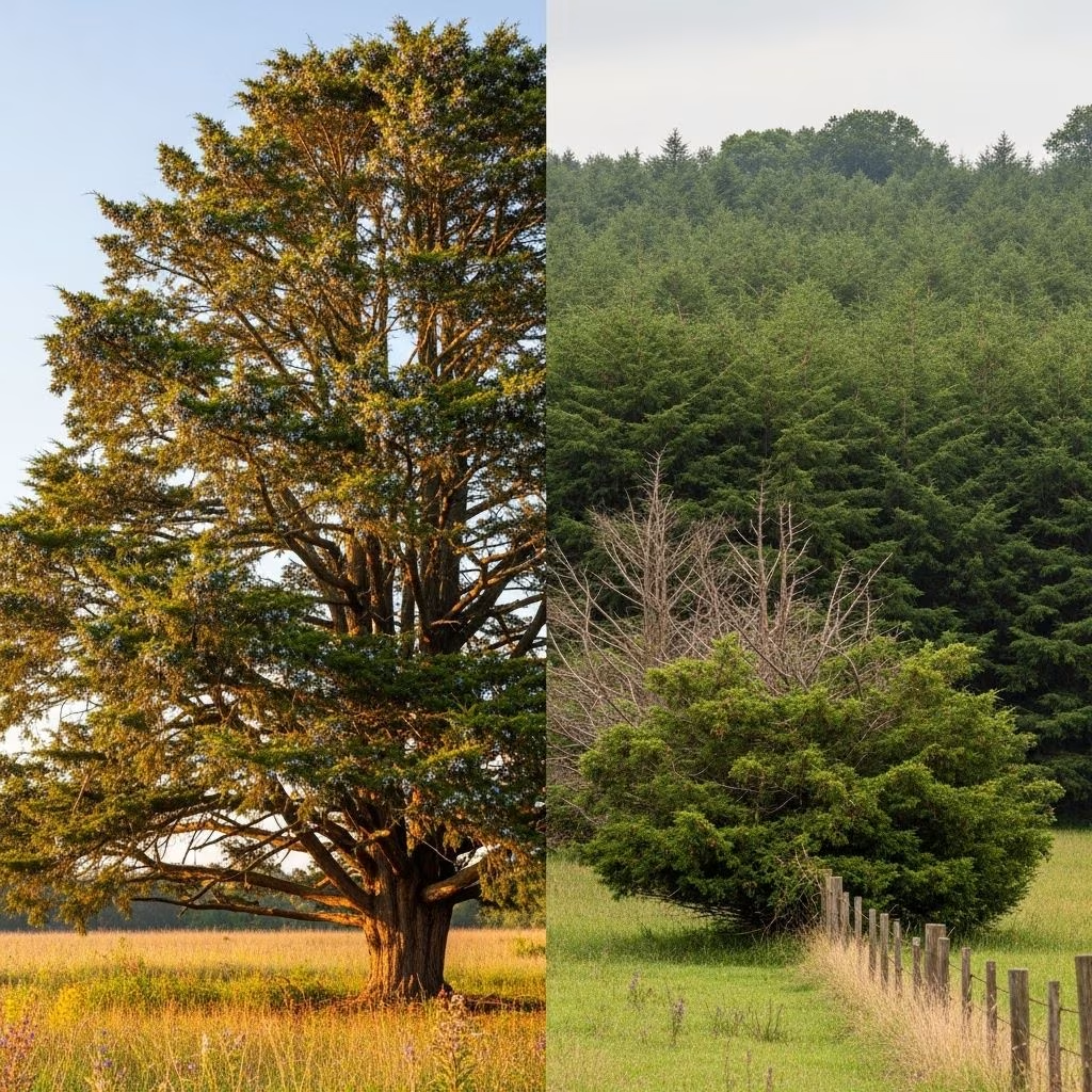


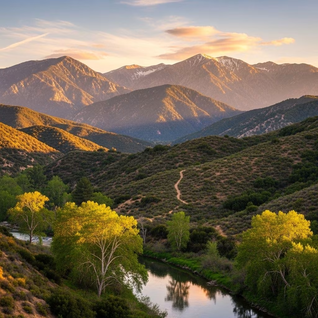
The San Gabriel Mountains, rising abruptly above the Los Angeles Basin, are more than a scenic backdrop—they’re vital to the region’s ecology, culture, and spirit. Stretching nearly 70 miles across Southern California, these mountains provide essential watershed, rare Mediterranean habitats, and precious outdoor escapes for millions living nearby. Yet, development and overuse threaten many of their most remarkable places with irreversible loss. Join us as we explore some of the San Gabriels’ most precious and imperiled sites—each one a living testament to the wild beauty and diversity of Southern California.
The San Gabriel Mountains: A Conservation Imperative
Regarded as the recreational ‘backyard’ for over 17 million people, the San Gabriel Mountains are both a vital refuge and an ecological stronghold. Officially recognized in 2014 as the San Gabriel Mountains National Monument, this rugged expanse protects roughly 350,000 acres filled with diverse habitats, rare species, and storied history. These peaks supply a third of L.A. County’s water and more than 70% of its open space, with native wildlife—from bighorn sheep to endangered amphibians—relying on its mosaic of forests, chaparral, and canyons for survival.
Yet, proximity to an immense urban population brings its own challenges. Overcrowding, habitat loss, and pollution threaten the very landscapes that generations have revered. Conservationists warn that unless urgent protection is enacted, the unique character of the San Gabriel Mountains may be lost to future generations.
Geological Marvels Shaped by Time
The San Gabriel Mountains tell a story written over hundreds of millions of years. Some of the oldest rocks in the Western United States are exposed here—ancient crystalline formations shaped by relentless uplift, earthquakes, and erosion. Towering peaks like Mt. Baldy (Mt. San Antonio), at 10,064 feet, dominate a landscape etched by steep canyons, seasonal creeks, and tumbling waterfalls. Unusual rock outcroppings, such as those found at Devil’s Punchbowl, reveal the tumultuous tectonic legacy of the region, while deep gorges and exposed faults bear silent witness to the San Andreas Fault’s inexorable movement.
- Devil’s Punchbowl: A spectacular geological amphitheater carved by seismic forces, famous for its unique rock formations and windswept desert-meets-mountain flora.
- Bridge to Nowhere: An engineering relic swallowed by flooding in 1938, now a prized site for bungee jumping and dramatic canyon scenery.
- Mt. Baldy: The highest and most iconic peak, offering alpine vistas rarely seen in Southern California and challenging hikes year-round.
Rare and Endangered Habitats
Despite only comprising about 3% of the world’s land, Mediterranean ecosystems, like those found throughout the San Gabriel Mountains, are epicenters of biodiversity. The mountains shelter 27 rare plants—including the Mount Gleason paintbrush—and act as sanctuaries for imperiled creatures.
- California Condor: This massive carrion-eating bird, one of the world’s rarest, was nearly lost to extinction. Conserving the San Gabriels’ cliffs and old-growth forests aids their ongoing recovery.
- Arroyo Toad & San Gabriel Slender Salamander: Both species depend on clean streams, riparian woodlands, and undisturbed floodplain habitat—now shrinking due to human encroachment.
- California Spotted Owl: Dependent on mature forests, this elusive raptor is an indicator for the overall health of the woodland ecosystem.
- Nelson’s Bighorn Sheep: Seen on the steepest slopes, this emblematic mammal has rebounded in some areas but faces continued habitat fragmentation.
Cultural and Historical Significance
The San Gabriel Mountains have sustained people for millennia. Before Spanish colonization, the region was home to indigenous peoples such as the Tongva, whose ancestors traversed mountain passes and traded with neighboring desert communities. The discovery of gold, establishment of resorts in the ‘Great Hiking Era’ of the early 1900s, and the construction of infrastructure such as the Mount Lowe Railway left enduring marks on the landscape.
Remnants of historic campsites, abandoned trail lodges, and sacred native sites dot trail corridors, offering a sense of continuity—and a reminder of the deep connection between people and nature.
Must-See Destinations: Gems of the San Gabriels
Bridge to Nowhere
Hidden deep within the rugged Sheep Mountain Wilderness, the Bridge to Nowhere stands as a surreal monument to nature’s unpredictability. Intended for a road that was never completed, the 120-foot arch bridge now floats above the East Fork of the San Gabriel River, attracting hikers and thrill-seekers who cross shimmering waters to reach its lonely span. Today, it is one of the region’s most sought-after destinations for adventure, famed for bungee jumping, canyoneering, and its wild, untamed setting.
Morris Dam
Constructed in the 1930s, Morris Dam is pivotal in the region’s water management, forming a deep concrete gorge on the San Gabriel River. While access is largely controlled due to its role in L.A.’s drinking water supply, the dam’s scenic surroundings—a patchwork of forest, rocky cliffs, and tranquil reservoirs—underscore the intricate balance between urban utility and natural preservation.
Devil’s Punchbowl Natural Area
Located at the edge of the Mojave Desert, Devil’s Punchbowl is a geologic marvel where tilted sedimentary strata have been upended by seismic forces, creating a stunning natural amphitheater. Visitors can wander interpretive trails, peer down into wind-blasted chasms, and search for desert bighorn sheep and endemic wildflowers that thrive in the microclimates forged by altitude and exposure.
Bigcone Douglas Fir Forests (Upper West Fork San Gabriel River)
Here, at the junction of alpine and coastal ecosystems, the San Gabriel’s upper West Fork hides some of Southern California’s most extensive bigcone Douglas fir woodlands. These forests are critical for rare wildlife (such as the red-legged frog and peregrine falcon), and their ancient conifers form a living link to prehistoric times. The remote Tom Lucas Trail Camp and Trail Canyon Falls—a 30-foot ethereal waterfall—are revered by hikers seeking solitude and untouched beauty.
Chantry Flat and the Santa Anita Canyon
Among the best-loved entry points for Los Angeles hikers, the Chantry Flat area accesses a network of historic trails, crystal-clear creeks, and mossy cabins. The Gabrielino Trail traverses deep canyons, offering encounters with both cultural history and botanical diversity. This region is famed for its shaded woodlands and access to family-friendly hiking, but requires careful stewardship to avoid overuse.
Recreation and Responsible Enjoyment
The San Gabriel Mountains offer outstanding opportunities for:
- Hiking & backpacking: Hundreds of miles of trails crisscross every ecological zone—from gentle streamside walks to strenuous summit climbs.
- Wildlife viewing & photography: Early morning and dusk unveil the region’s natural wonders, from majestic raptors to elusive mammals and ephemeral wildflowers.
- Climbing & bouldering: Vertical sandstone walls, especially in places like Devil’s Punchbowl, challenge both novice and expert climbers.
- Cultural exploration: Historic resorts, Native American rock art, and remnants of early engineering feats provide insight into the intertwining stories of people and land.
However, the popularity of the mountains comes at a cost. Overcrowding, trail erosion, trash, graffiti, and wildfire risk are mounting threats—especially given limited visitor facilities and public transportation. Solutions include enhanced educational signage, expanded public transit access, multilingual information, and robust stewardship programs.
Threats and Conservation Challenges
The San Gabriel Mountains’ proximity to greater Los Angeles makes them both accessible and vulnerable. Key threats include:
- Habitat Fragmentation: Infrastructure projects and urban encroachment chip away at wild corridors and imperil species whose survival demands large, connected areas.
- Pollution: Waterways are threatened by urban runoff, while trash and graffiti scar trails and natural vistas.
- Overuse & Accessibility: Limited public transit and inadequate facilities mean that many visitors must drive, creating congestion, strained parking, and uneven access among communities.
- Wildfire: Drought and climate change have increased wildfire intensity and frequency, further stressing native flora and fauna.
Solutions advocated by conservation groups include expanding the national monument boundaries, establishing new wilderness areas, investing in public education, improving infrastructure, and supporting ongoing recovery efforts for endangered species.
How to Visit Responsibly
- Stay on designated trails to protect delicate habitats and reduce erosion.
- Pack out all trash and leave natural and historical objects undisturbed.
- Respect wildlife by observing from a distance and never feeding wild animals.
- Be prepared for rapidly changing conditions; carry enough water, check weather forecasts, and heed fire warnings.
- Make use of shuttle services or carpool when available to reduce vehicle impact and parking congestion.
Table: Iconic Destinations and Their Unique Features
| Destination | Highlights | Special Considerations |
|---|---|---|
| Bridge to Nowhere | Historic bridge, bungee jumping, river crossings | Remote; river levels can be hazardous after storms |
| Devil’s Punchbowl | Striking geology, rare plants, interpretive trails | Extreme weather possible; trails can be rugged |
| Chantry Flat/Santa Anita Canyon | Shaded canyons, historic cabins, waterfalls | Parking fills early on weekends and holidays |
| Morris Dam | Water management, scenic views, near wildlife habitat | Limited recreational access due to utility role |
| Upper West Fork | Bigcone Douglas fir, rare amphibians, remote hikes | Requires advanced preparation for backcountry travel |
Frequently Asked Questions (FAQs)
Q: What makes the San Gabriel Mountains globally significant?
A: The San Gabriels feature rare Mediterranean habitats, support dozens of endangered species, and provide critical watershed for millions, making them both a biodiversity hotspot and a keystone landscape in Southern California.
Q: Are there endangered animals I might see?
A: With luck and respect for their space, visitors may spot species like the California condor, Nelson’s bighorn sheep, and several rare amphibians. These creatures are easily disturbed, so quiet observation is encouraged.
Q: Can I bring my dog on trails in the San Gabriel Mountains?
A: Dogs are allowed on most national forest trails but must be leashed. Owners should be prepared to pack out all waste and ensure pets do not harass wildlife.
Q: Are there public transportation options to reach the mountains?
A: Public transportation is limited. Most visitors need to drive, which can create congestion and parking issues during peak times. Advocacy is ongoing to expand transit services to popular trailheads and visitor centers.
Q: What can I do to help conserve these special places?
A: Practicing Leave No Trace ethics, supporting local conservation organizations, reporting illegal dumping or vandalism, and participating in volunteer trail maintenance programs all contribute to safeguarding the San Gabriels for future generations.
Conclusion: Cherishing and Protecting the San Gabriel Mountains
The San Gabriel Mountains are at once a natural fortress, a living classroom, and a beloved retreat for millions. Their rare habitats, towering summits, and storied pasts remind us of all that’s at stake in the race to conserve Southern California’s wild heart. By visiting thoughtfully, supporting conservation, and sharing their wonders responsibly, we ensure that future generations can experience the mountain magic that has inspired Angelenos for centuries.
References
- https://www.tripadvisor.com/Attractions-g33015-Activities-San_Gabriel_California.html
- https://www.calwild.org/campaigns/san-gabriel/
- https://www.wilderness.org/wild-places/california/national-monuments-san-gabriel-mountains
- https://www.expedia.com/Things-To-Do-In-San-Gabriel-Valley.d553248635056398175.Travel-Guide-Activities
- https://www.komoot.com/guide/372591/attractions-in-the-san-gabriel-mountains
- https://www.fs.usda.gov/attmain/angeles/specialplaces