

The Ultimate U.S. Road Trip to Chase Perfect 70-Degree Weather
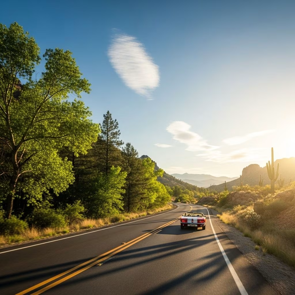
Imagine traversing North America and enjoying that sweet spot of 70°F weather every single day. This unprecedented road trip, mapped using decades of climate data, lets you follow comfortable temperatures for a year. Whether winding through the rugged mountains, coastal highways, or vibrant cities, each destination on this 13,000+ mile journey is selected for its ideal climate, scenic views, and travel experience.
What Makes the 70-Degree Road Trip Special?
- Comfort First: The route is based on average daily high temperatures, ensuring travelers enjoy mild, pleasant weather year-round.
- Expert-Mapped: Developed by climatologist Brian Brettschneider, this trip synthesizes weather station data from 1981-2010, spanning every corner of the U.S. and Canada.
- Flexible Adventures: You can tackle the entire year-long journey or pick shorter segments based on your preferred month or region.
How Was the Route Created?
Brian Brettschneider analyzed historical temperature data from U.S. National Centers for Environmental Information and Environment Canada. He charted several routes, including coastal, interior, and a grand all-U.S.-and-Canada version. Each aligns daily stops with regions where normal highs stay near 70°F, guiding travelers on an epic circuit across the continent.
Month-by-Month Breakdown: Where to Go for 70-Degree Weather
To keep in perfect weather every month, the road trip shifts steadily, chasing seasonal climate pockets. Below is a suggested itinerary for the All U.S. & Canada Route.
| Month | Main Route & Destinations | Distance (approx.) |
|---|---|---|
| January | Brownsville, TX → Corpus Christi, TX | 140 miles |
| February | Texas coastal bend → Houston, TX | 197 miles |
| March | Dallas, TX → Oklahoma City, OK | 408 miles |
| April | Kansas City, MO | 343 miles |
| May | Des Moines, IA → Minneapolis, MN | 765 miles |
| June | Duluth, MN → Central Montana | 1,062 miles |
| July | Western Montana → Yellowstone, WY → Northwestern Colorado | 1,255 miles |
| August | Central Wyoming → Southern Montana | 384 miles |
| September | Southwest North Dakota → Nebraska border | 533 miles |
| October | Rural highways through New Mexico (Albuquerque) | 546 miles |
| November | I-40 to Flagstaff, AZ → Phoenix, AZ | 467 miles |
| December | I-8 Phoenix → Los Angeles, CA → San Diego, CA | 531 miles |
Sample Itinerary Highlights
- Denali National Park, AK (Summer): Marvel at pristine wilderness under a gentle sun.
- San Diego, CA (Winter Start/End): Enjoy balmy Pacific breezes and urban amenities.
- Malibu, CA: Surf, sunbathe, and savor coastal beauty with near-perfect weather.
- Yellowstone National Park: Explore geothermal wonders when the temperature is just right.
- Superior, WI: Lakeside relaxation and water sports in summer’s mild climate.
Why 70 Degrees? The Science Behind the Magic
70°F (21°C) is widely recognized as the temperature most people find comfortable—warm enough for outdoor fun but never hot enough to induce fatigue or risk. It’s the optimal range for camping, hiking, sightseeing, and road-tripping. Avoiding extremes can also lighten packing requirements, reduce travel stress, and simplify activity planning.
The Climatologist’s Path: How the Route Was Mapped
Using historical highs from thousands of weather stations across North America, Brian Brettschneider plotted points for each month where the expected temperature hovers around 70°F. By tracing these points, he linked regions that naturally warm or cool month-by-month, enabling continuous travel in optimal comfort.
How to Plan Your Own 70-Degree Road Trip
- Pick Your Segment: If a year-long journey isn’t possible, select a month and focus on destinations along that portion of the climate map.
- Check Seasonal Variability: While averages are reliable, always monitor forecasts in advance for local anomalies.
- Stay Flexible: Weather can be unpredictable—consider alternate stops if conditions shift.
- Choose Your Mode: The trip is great by RV, camper van, car, or motorcycle. Campgrounds and RV parks abound along the way.
- Book Ahead for National Parks: Busy parks like Yellowstone, Denali, and coastal campgrounds often require advance reservations.
Popular RV Parks & Campgrounds on the Route
- Denali Rainbow Village RV Park (AK): Explore the majesty of Alaska, with peak summer temperatures that fit the 70-degree target.
- Tillamook Bay City RV Park (OR): Oregon’s coast is refreshingly cool in summer, ideal for extended stays.
- Surf Outpost, Malibu (CA): Revel in sun, surf, and world-class beaches.
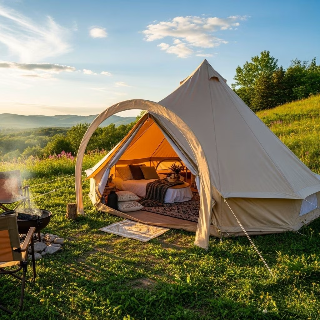
- Mystic Quarry Resort, Canyon Lake (TX): A spectrum of glamping options in central Texas’s hill country.
- Mont du Lac Resort, Superior (WI): Experience lakeside tranquility in northern Wisconsin.
- Chinook RV Resort, Klamath (CA): The lush redwood region with mild summer evenings.
Frequently Asked Questions (FAQ)
Q: Do I have to complete the whole trip?
A: No, the route is modular. You can jump in for a month or a single segment, using the climate-based map to guide your own adventure.
Q: What kind of vehicle is best for this trip?
A: The trip works for cars, RVs, vans, or motorcycles. RVs may be ideal for remote stretches, thanks to the abundance of campgrounds, but any reliable vehicle will suffice.
Q: What if the weather shifts unexpectedly?
A: While the route is mapped using decades of data, weather can vary. Always check forecasts and consider backup destinations for that week if you need to chase the sun or cooler breezes.
Q: Can I modify the route for warmer or cooler weather?
A: Yes. Brettschneider developed alternate routes for those wanting to stay exclusively in the lower 48 or chase slightly warmer weather. Other variations can be tailored for desired climates.
Q: What are the best months for national parks?
A: Many parks reach their tourist peak in May to September, but the 70-degree map helps you avoid summer crowds in southern parks by shifting north, and vice versa in winter.
Tips for Making the Most Out of Your Road Trip
- Align Activities with Climate: Enjoy hiking, biking, swimming, and sightseeing without battling heat waves or cold snaps.
- Packing Simplified: With expected mild temperatures, it’s easier to pack light—just a few layers and minimal gear.
- Photography Opportunities: Enjoy vibrant wildflowers, golden foliage, and clear skies in nearly every region you visit.
- Local Culture: Explore seasonal festivals, food markets, and regional events synchronized to the best climate months.
Sample Route Variations and Alternatives
- Coastal Route: Follow ocean breezes through California, Oregon, Washington, and the Pacific Northwest, shifting inland only when needed for climate.
- Interior Route: Journey through the American heartland—Texas, Oklahoma, Colorado, Montana, and up to Canada.
- Lower 48 Route: Skip Alaska and Canada for a condensed 9,929-mile route focusing solely on contiguous U.S. destinations.
Planning Resources
- Weather Apps: Use apps like Weather Underground or NOAA for real-time forecasts and historical averages.
- RV Lifestyle Blogs: Detailed segment breakdowns help with campgrounds, activities, and dining options.
- Climatologist’s Blog: Consult original research for route maps and additional itineraries.
- Travel Forums: Connect with other climate-chasing travelers to swap tips and stories.
Best Practices for Responsible Travel
- Leave No Trace: Practice eco-friendly camping, recycle, and keep parks clean.
- Support Local Businesses: Shop, eat, and stay locally whenever possible.
- Share Your Journey: Inspire others by posting travel photos and progress updates tagged with #70DegreeRoadTrip.
Frequently Asked Questions — Quick Reference
- Can I do it in reverse?
Yes. The route is cyclical; starting in December and looping back is just as effective. - How many miles total?
The All U.S. & Canada route covers roughly 13,996 miles. - Is this for families?
Absolutely. The route emphasizes safe, comfortable climates ideal for all ages. - Will I see national parks?
You’ll stop at dozens of U.S. national parks, as well as several in Canada.
Embark on Your Own 70-Degree Adventure!
Whether you’re an experienced RVer, a family of explorers, or just craving the ultimate climate-chasing adventure, this meticulously mapped journey ensures you’ll never spend a day wishing for better weather. Select your segment, pack your essentials, and get ready for an unforgettable year of 70-degree perfection—one road, one month, one destination at a time.
References
- https://www.spot2nite.com/p/blog/guides/that-70-degrees-rv-trip
- https://www.airstreammarketplace.com/this-perfect-airstream-road-trip-keeps-you-in-70-degree-weather-all-year/
- https://rvlifestyle.com/70-degree-road-trip-us-canada/
- http://us-climate.blogspot.com/2023/05/70f-road-trip-version-20-2023.html
- https://www.wunderground.com/article/travel/news/2023-06-06-70-degree-road-trip
- https://www.tripadvisor.com/ShowTopic-g1-i12567-k14418167-Hypothetical_70_F_21_C_year_long_road_trip_map-Road_Trips.html