


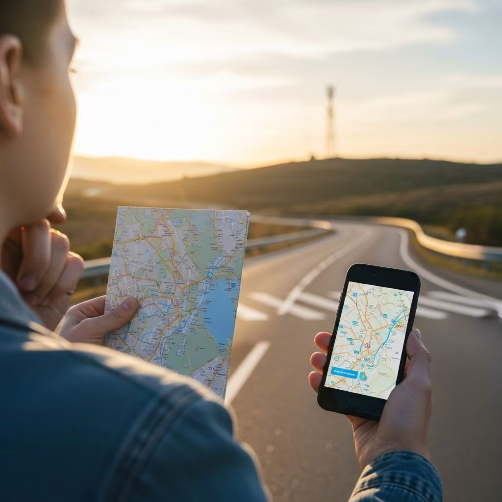
The rapid evolution of digital maps and GPS technology has transformed how people find their way in the world, offering unprecedented convenience and real-time access to location data. However, as dependence on these tools grows, so do concerns regarding their impact on cognitive abilities, spatial awareness, and navigation skills. Mindful navigation advocates a balanced approach that leverages technology’s strengths while intentionally maintaining traditional map-reading and orientation abilities for safer, smarter travel and cognitive health.
Table of Contents
- Introduction to Digital Navigation
- Benefits of Digital Maps and GPS
- Limitations and Risks of Over-Reliance
- The Cognitive Impact of Navigation Technology
- Traditional Maps and Skills: Cognitive and Practical Advantages
- Hybrid Navigation Strategies: Best Practices
- Mindful Navigation Tips
- Frequently Asked Questions (FAQ)
Introduction to Digital Navigation
Modern navigation has gone through a profound shift with the rise of digital maps and GPS devices. Traditional skills—like reading physical maps or following landmarks—are increasingly being replaced with smartphone apps and dashboard navigation systems. These tools provide instant routes, real-time updates, and location-sharing features, dramatically simplifying everyday travel.
Despite these advancements, integrating technology into navigation processes requires understanding the strengths and pitfalls of such tools, as well as awareness of underlying skills that technology may be replacing or atrophying over time.
Benefits of Digital Maps and GPS
- Real-time Location Tracking: GPS devices can pinpoint your exact location within meters, reducing guesswork in unfamiliar environments and providing automatic orientation—especially useful in dense forests, deserts, or remote highways.
Reference: - Efficient Route Planning: Digital maps allow users to plan trips with up-to-the-minute traffic updates and alternate routes, factoring in road closures, construction, or congestion.
Reference: - Preloaded and Offline Maps: Many GPS and map apps offer offline map downloads, making them invaluable in areas with poor or no cell coverage.
Reference: - Safety and Emergency Features: Advanced GPS units include emergency SOS capabilities, allowing users to call for help or send their coordinates when in distress (e.g., during wilderness adventures or vehicle breakdowns).
Reference: - Shared Navigation and Social Features: Digital platforms enable users to share routes with others, support collaborative trip planning, and utilize customizable alerts for deviations from planned paths.
Reference: - Continual Technological Improvement: GPS systems now include features such as real-time traffic, terrain analysis, weather updates, elevation data, and even augmented reality navigation.
Reference:
These advantages explain why digital navigation dominates in convenience-driven settings, but they also open the door to potential new risks.
Limitations and Risks of Over-Reliance
- Signal and Battery Dependency: GPS and map apps depend on battery power and signal availability. Extended use drains batteries quickly, and loss of signal in remote areas can leave travelers stranded.
Reference: - Data Errors and Outdated Maps: Automated navigation can sometimes suggest outdated or erroneous routes, particularly after natural disasters, construction, or database errors.
- Passive Navigation and Spatial Skill Atrophy: Heavy reliance on digital maps can lead to ‘autopilot mode,’ reducing active engagement with the environment and weakening the brain’s spatial functions.
Reference: - Cognitive Overload: Information density and frequent notifications may distract users from situational awareness and prudent decision-making during travel.
| Feature | GPS/Digital Maps | Traditional Paper Maps |
|---|---|---|
| Connectivity Required | Yes, for updates/real-time data | No |
| Reliability off the grid | Variable; at risk if signal lost or battery depleted | Highly reliable |
| Cognitive Engagement | Passive, may reduce spatial skills | Active, enhances spatial awareness |
| Backup in Emergencies | Limited, depends on device | Always available |
The Cognitive Impact of Navigation Technology
Leading research shows that regular GPS use is linked to:
- Poorer sense of direction: Frequent reliance on GPS correlates with a lower self-reported sense of direction and confidence in spatial orientation.
Reference: - Higher spatial anxiety: Users dependent on GPS report increased anxiety about navigating new or complex environments.
Reference: - Lower mental rotation and perspective-taking abilities: These are critical components of spatial intelligence. Reference:
- Reduced environmental exploration: GPS reliance is associated with a decreased tendency to explore or learn the layout of new places independently.
Reference: - Hippocampus inactivity: GPS guidance bypasses the brain’s need to form mental maps, reducing activity in regions responsible for navigation and memory.
Reference:
In contrast, traditional map use enhances these capacities. Over time, lack of engagement with core navigational skills may lead to an atrophy of spatial reasoning—potentially impacting wayfinding confidence and memory.
Traditional Maps and Skills: Cognitive and Practical Advantages
Paper maps and traditional navigation require active inference, problem-solving, and the handling of spatial data. This interaction:
- Stimulates the hippocampus: The brain’s navigation and memory center benefits from the active process of plotting locations and routes.
Reference: - Enhances spatial orientation skills: Reading and interpreting map symbols strengthens visualization, distance estimation, and orientation abilities—skills that spill over into other areas of life.
Reference: - Boosts mental agility and memory: Actively building mental maps fosters cognitive flexibility and memory recall.
Reference: - Ensures reliability in remote or off-grid locations: Maps are impervious to battery drain, software glitches, and network failures.
Reference: - Encourages curiosity and exploration: Navigating by map encourages a growth mindset, fostering confidence in learning new routes and environments without automated assistance.
Reference:
Geography educators and travel experts recommend maintaining paper map skills and geographic awareness, especially for young people and frequent travelers. This approach strengthens independence, sharpens memory, and enables critical thinking.
Hybrid Navigation Strategies: Best Practices
A mindful navigation approach blends digital convenience with traditional expertise, drawing on the strengths of each:
- Use paper maps for big-picture planning: Before a journey, study the region using physical or digital topographic maps. This provides context and fosters spatial learning.
Reference: - Rely on GPS for real-time guidance: Let your GPS guide you for turn-by-turn directions and traffic alerts, ensuring you stay on track.
- Maintain a backup plan: Always carry a physical map or offline digital map in regions with poor connectivity, or when embarking on long trips.
- Practice manual navigation: Periodically try navigating without digital aids—using street signs, landmarks, and memory to reinforce spatial skills.
- Reflect after journeys: After arriving, take a few moments to recall your route and mentally reconstruct your path to consolidate memory and experience.
This dual strategy builds confidence and ensures security should technology fail, while protecting and sharpening the brain’s innate wayfinding powers.
Mindful Navigation Tips
- Set boundaries for technology use: Intentionally decide when and why to use digital navigation—reserve it for complex routes, emergencies, or unfamiliar territories.
- Balance automation with awareness: Whenever safe, check your physical surroundings against your digital map instead of following prompts mindlessly.
- Teach navigation skills: Encourage children and teens to learn to read paper maps and understand directions to build lifelong spatial intelligence.
- Stay aware of your context: Regularly glance at your environment, recognizing landmarks, intersections, and terrain to stay present.
- Update and check your maps: Keep digital and physical maps up to date for accuracy and reliability.
When to Use Paper Maps Over GPS
- Exploring remote areas with unreliable signals.
- As a backup when battery life is limited.
- When planning multi-day or cross-country journeys that may take you off-grid.
- For educational purposes in learning orientation, plotting, and estimating distances.
Frequently Asked Questions (FAQ)
Q: Does using GPS harm your memory or spatial awareness?
A: Studies indicate that habitual GPS use can reduce engagement of brain areas critical for spatial memory and orientation, especially compared to traditional map reading. Occasional use is not typically harmful, but regular dependence may lower spatial skills over time.
Reference:
Q: What are the best ways to integrate maps and GPS for safe navigation?
A: Start by planning your journey using a map for broad context. Use GPS for real-time tracking and alternate routes, but always keep a paper map as a backup and periodically challenge yourself to navigate without digital prompts.
Reference:
Q: Is turn-by-turn navigation better than route planning?
A: Turn-by-turn guidance offers convenience but may engage you less actively in your environment. Manual route planning—using either digital or paper maps—promotes understanding and retention of spatial information.
Reference:
Q: How can I improve my sense of direction if I rely on GPS?
A: Practice manual navigation in safe settings, use paper maps regularly, and intentionally memorize key landmarks. Active engagement with your environment can help rebuild spatial confidence.
Q: Are there scenarios where paper maps are still essential?
A: Yes, such as when battery power or network connectivity is unreliable (outdoor adventures, rural travel), or for educational and cognitive development purposes.
Reference:
Final Thoughts
Mindful use of digital maps and GPS empowers individuals to make the most of technology while fortifying innate navigational abilities. Embracing both digital and traditional skill sets not only maximizes convenience and safety, but also promotes lifelong brain health, spatial agility, and confidence—ensuring you never lose your way, even if the power goes out.
References
- https://nationalparkshops.com/gps-vs-map-navigation/
- https://randpublishing.com/blog/beyond-the-blue-dot-exploring-the-pros-and-cons-of-maps-vs-gps/
- https://pmc.ncbi.nlm.nih.gov/articles/PMC10951145/
- https://afb.org/blindness-and-low-vision/using-technology/smartphone-gps-navigation-people-visual-impairments-0
- https://concept3d.com/blog/digital-maps/10-reasons-why-digital-maps-rule-the-world/
- https://nelowvision.com/the-benefits-of-using-a-gps-mobile-navigation-app-designed-for-people-with-visual-impairments/
- https://gisgeography.com/paper-maps/
- https://www.uclahealth.org/news/article/navigating-can-help-increase-brain-health