


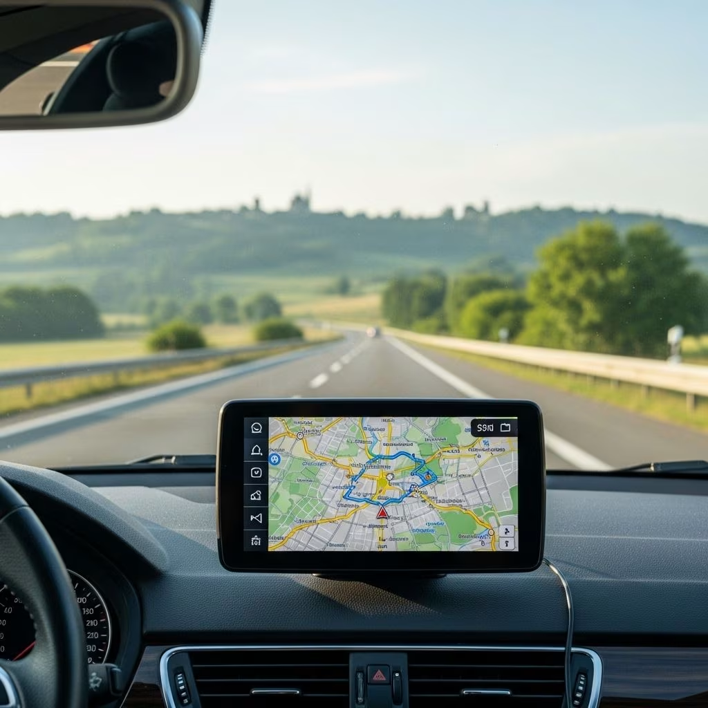
Mastering European Road Navigation: Your Guide to Smooth Driving Across Europe
Exploring Europe by car unlocks hidden gems, scenic byways, and the freedom to travel off the beaten path. Yet the continent’s diverse road systems, languages, and city layouts can challenge even the savviest travelers. Whether you’re plotting a scenic detour through Tuscany or negotiating the ring roads of Paris, preparation is the key to a stress-free journey. This comprehensive guide distills decades of European travel experience into actionable advice so you can drive—and enjoy—Europe like a local.
Why Navigation Matters in Europe
While driving through Europe can be exhilarating, it’s also easy to get lost due to language barriers, non-intuitive city layouts, frequent roadwork, and signage conventions unfamiliar to non-locals. Good navigation improves safety, saves time and fuel, reduces stress, and helps you avoid restricted zones and expensive mistakes.
- Many European cities have car-restricted zones (like Italy’s ZTLs), enforced by cameras—unwitting drivers are routinely fined.
- Detours due to construction, sudden highway exits, and missed signs in foreign languages can quickly compound into frustration and delays.
Being proactive with navigation technology and old-fashioned map skills empowers you to overcome these obstacles, ensuring every mile is a pleasure rather than a pain.
Best Map Apps for European Road Trips
Modern mapping apps make route planning and in-car navigation far simpler than ever before. Yet, in Europe, you can’t always count on an affordable or stable data connection. The best map apps for European travel offer offline functionality, turn-by-turn directions, and reliable road data:
- Google Maps: Download regional or country maps in advance for offline navigation. Still, live traffic updates require data.
- Here WeGo: Renowned for robust offline support, detailed driving, public transit, and walking instructions. Particularly good for data-roaming savings.
- Navmii: A strong free option with offline voice-guided navigation. Supports user-reported road conditions and speed camera alerts.
- Maps.me: Detailed open-source maps, excellent for both driving and pedestrian navigation.
Always download your route and destination maps before leaving Wi-Fi coverage. Even with the best apps, occasional glitches or map mismatches do occur—never travel without backup (see below).
Should You Use GPS, Apps, or Paper Maps?
Both GPS navigation devices and smartphone apps have made European driving more accessible. Still, over-reliance on technology is risky—devices can give bizarre routes, fail in tunnels, or run out of battery unexpectedly.
| Method | Benefits | Limitations |
|---|---|---|
| Offline Map Apps (e.g., Google Maps, Here WeGo) | Convenient, up-to-date, usually free, include search and traffic features | May need regular updates, battery drain, risk of odd routing |
| Standalone GPS Devices | Reliable, don’t need phone signal, easier on phone battery | May lack latest road updates, unfamiliar interface |
| Paper Maps (e.g., Michelin, Shell) | No batteries/data required, big-picture planning, handy backup | Not real-time, harder to use while driving, can be outdated |
- Best Practice: Use a map app or GPS for primary navigation but always keep a good printed map in the glove box for backup.
- Familiarize yourself with possible alternative routes before setting out each day; don’t blindly trust the first direction suggested by technology.
Essential Pre-Trip Route Planning
Great navigation begins before you start your engine. Whether you’re taking the highway or the scenic byways, a bit of research can save hours.
- Study Major Roads and Destinations: Before you set out, look up the main highways, larger cities near your stopovers, and the road numbers you’ll be using.
- Look for Expressways (“E” and National Numbers): For example, Paris to Lyon is both A-6 (French motorway) and E-15 (pan-European).
- Understand the Road Number System: Generally, more digits = smaller, more local roads. E.g., M-1 in Britain is a major motorway, A-34 is important but smaller, B-4081 is secondary.
Pro Tip: If your target is a small town, navigation signs may point to the nearest big city. Know which major cities lie on your way—they are often what you’ll see on directional signs.
Deciphering European Road Signs and Routes
European road signs use a color and symbol code that can be confusing at first—but a little study goes a long way:
- Color Codes:
- Yellow: Often for major local/destination roads.
- Green/Blue: Major expressways or highways (countries vary which color is used).
- Brown: Indicates routes to tourist or historical attractions.
- International E-Roads: Marked with “E” (e.g., E-60), covering multi-country expressways—the closest European equivalent of US interstates.
- Road Number Variations: National designations often coexist with international (e.g., the same road may be A-6 and E-15).
- Watch for Language Differences: Town or city names may differ (Firenze vs Florence, München vs Munich), especially on signs versus maps.
Review the most common symbols used for services, warnings, roundabouts, and restricted zones. Many national tourist boards offer PDF guides to road signs.
Key European Road Sign Examples
- Old Town / Center: Look for signs like centrum, centro, centar, centre-ville, Zentrum, Stadtmitte.
Tourist Office: Usually signposted with ‘i’, ‘turismo’, ‘VVV’, etc. - All Directions: Signs saying toutes directions (FR), alle Richtungen (DE) guide you out of town toward main highways.
Navigating in European Cities and Towns
European towns often date back centuries—designed for horse carts, not modern cars. The approach to city navigation requires patience and a few “insider” moves:
- Head for the Center: Signs pointing to the historical center (see terms above) usually lead efficiently to the city’s heart. The tallest church spire often marks the old center; parking nearby puts most attractions within easy walking range.
- Look for All-Directions Exits: To leave, follow “all directions” signs instead of hunting for a specific highway in the city center.
- Ask for Written Directions: Hotels often provide detailed entry and parking instructions. Language varies by country and region—confirm in advance, especially if arriving late.
- Restricted Zones (ZTL): In many Italian, Spanish, and French cities, “old town” centers are off-limits for non-resident vehicles at certain times. Check if your accommodation offers visitor access or pre-registers your license plate.
- Hotel Location and Access: If your hotel is inside a restricted area, contact them before arrival to get access instructions or parking permits. Some towns post signs for popular hotels, but this practice is less common in larger or non-tourist-focused cities.
When in doubt, park at the edge of the historic district and explore on foot to avoid fines and the stress of navigating narrow, medieval lanes.
Finding Your Hotel & Parking Smarter
The hardest part of any drive can be the “last mile”—finding your hotel, avoiding fines, and parking affordably:
- Pre-Book Parking: Check your hotel’s website or contact them directly for parking info (garage, nearby lot, or on-street options). Some hotels pre-register your car or provide discounted vouchers.
- Know the Rules: In many cities, parking is free only at night or on Sundays; always check local signs and meters.
- Use Park & Ride: Many major cities offer outlying lots with public transit connections—cheap and stress-free for sightseeing visits.
- Look for Blue Zones: Pay-and-display or disc-only parking (marked by blue lines/discs) is common; misinterpretation can result in fines.
Even with technology, print or screenshot your hotel’s directions—including details in the local language or Google Maps links. Bookmark the address in your preferred navigation app before you arrive. Always carry coins or a credit card compatible with local parking machines.
Troubleshooting and Backup Navigation Strategies
- Keep a Paper Map: Don’t rely solely on digital maps—GPS failures, dead batteries, or missing roads are all too common.
- Always Have an Alternate Route: Before following GPS, look at your options for detours; if the GPS sends you down an odd-looking side road, consult your paper map for confirmation.
- Pay Attention to Road Signs: Don’t zone out listening only to audio prompts; sometimes the recommended route ignores significant roadwork, a festival, or tolls.
- Be Flexible: Especially in older cities or rural areas, temporary closures or new traffic patterns may not yet be reflected in maps—be ready to adapt.
Frequently Asked Questions (FAQs)
Q: Is GPS absolutely necessary for driving in Europe?
A: No, but it is highly recommended for convenience—especially in rural or complex regions. Always carry a paper map as backup.
Q: How do I avoid restricted zones and camera fines?
A: Research city access regulations ahead of time, ask your hotel for details, and never blindly drive into a city center without confirming local restrictions, especially in Italy, Spain, and France.
Q: What are the most confusing road sign differences?
A: The use of city names in the local language, unfamiliar color codes for routes, and “E” numbers on cross-border expressways sometimes confuse newcomers. Learn common local terms and compare with your map for reference.
Q: Will my rental car’s GPS work in English?
A: Usually, but it’s best to request or set up your preferred language before leaving the rental lot. Bring your device or app if you prefer a particular navigation system.
Q: Should I print my hotel’s directions?
A: Absolutely. Always travel with written or printed directions—technical glitches or last-minute road closures can make digital tools temporarily useless.
Key Takeaways for Navigating Europe’s Roads
- Preparation is the traveler’s best friend. Study maps, download needed apps in advance, and read about local road customs.
- Never trust tech blindly. Always have a sense of your route, recognize local signs, and carry a backup paper map.
- Stay alert in towns and cities. Know your destination’s parking and access restrictions and avoid car-restricted zones without the right permits.
- Enjoy the journey! The more you know about Europe’s roads, the more confidently you can focus on the adventure—rather than the odometer.
References
- https://www.ricksteves.com/travel-tips/transportation/navigate-european-roads
- https://www.ricksteves.com/watch-read-listen/video/tv-show/european-travel-skills-part-1
- https://www.ricksteves.com/travel-tips/transportation/driving-europe-tips
- https://www.ricksteves.com/watch-read-listen/read/articles/driving-europe-open-road
- https://store.ricksteves.com/shop/p/michelin-maps
- https://community.ricksteves.com/travel-forum/tech-tips/for-a-european-road-trip-gps-is-essential-some-tips
- https://www.youtube.com/watch?v=nr6Ex_cqjnk
- https://play.google.com/store/apps/details?id=com.ricksteves.audioeurope&hl=en_US
- https://www.ricksteves.com/watch-read-listen/read/articles/how-to-survive-a-european-road-trip